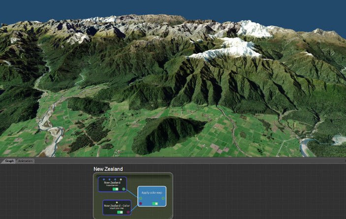
World browser
With Instant Terra 2.2, download the satellite images with heightmaps in one click for stunning results.
New nodes to tune color maps
The new Brightness & Contrast and Gamma correction nodes let you fine-tune the colors of your color maps.
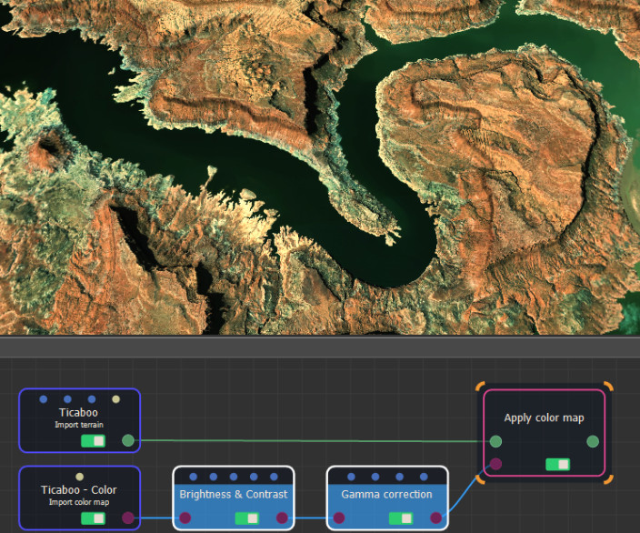
- Terrain Gamma correction node
- Colormap Gamma correction node
- Terrain Brightness & Contrast node
- Colormap Brightness & Contrast node
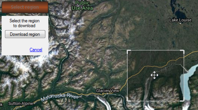
Improved region selection in the World browser
Move and rescale a selection easily before downloading it.
Technical corner
ARC/INFO ASCII GRID files (*.asc) are supported when importing and exporting terrains.
Copyright © 2022 · All Rights Reserved · Wysilab