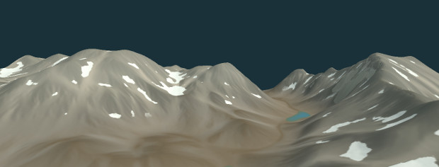
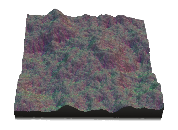
New erosion nodes
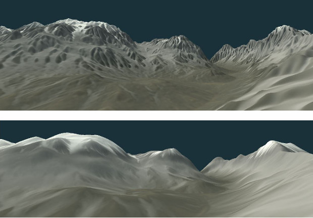
Instant Terra now has three new erosion nodes giving a wider range of results, Thermal erosion, Multi-scale erosion, and Mountain aging, in addition to the existing erosion algorithms. Use them alone, or better, combine them for varied and different realistic results.
Thermal erosion is a new algorithm that enlarges river banks. It is similar to hydraulic erosion, but provides wider results.
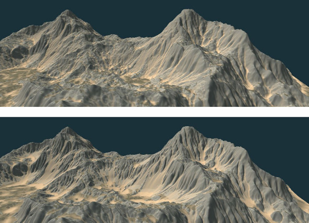
Multi-scale erosion is applied at various scales and erodes the terrain more deeply than simple hydraulic or thermal erosion.
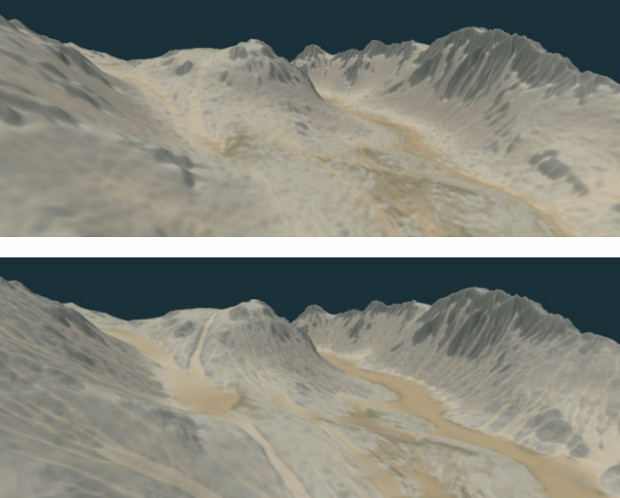
Mountain aging simulates the aging of topography over a very long period of time.
2D flowmap
In addition to the new erosion algorithms, the new 2D flow map node, which is based on flow simulation, provides a vector map of the direction of the water flow.
Export of Tiff and Asc files
Geographic in formation is saved: If the terrain was imported from a Tiff or Asc file containing geographic data, such as longitude and latitude coordinates, this information is saved and written to the exported Tiff / Asc file.
Vector map support
The vector map is a new category of data. New nodes handle the vector maps.
- Vector map to color map. This node converts a vector map to a color map. Use it to apply a normal map or a 2D flow map to a terrain.
- Import vector map. This node imports a vector map from an RGB image file.
- Components can now specify a vector map as an input or an output.
The Normal map is a specific case of vector maps, and is now handled and exported as a vector map.
Copyright © 2022 · All Rights Reserved · Wysilab