The Simulation nodes create realistic erosion effects through a range of editable parameters.
- Hydraulic erosion: This node creates realistic erosion effects by rainfall and river flows.
- Rock erosion: This node simulates realistic rock erosion through a series of iterations on the entire terrain that determine the movement of sediment due to gravity.
- Mountain erosion: This node simulates the effect of fluvial erosion and rock weathering over a wide time span.
- Sedimental smoothing: This node simulates the effect of sedimental deposition due to the general weathering of the terrain.
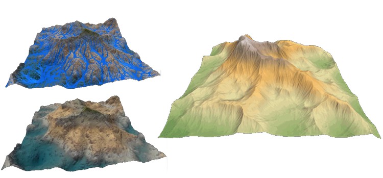
- Flow simulation: This node simulates the movement of water on a landscape.
- Mountain aging: This node simulates the aging of mountains over very long periods, typically several million or tens of millions of years.
- 2D flow map: This node calculates a flow map of water flows by producing a map of water flows.
- Multi-scale erosion: This node erodes the terrain at different scales.
- Thermal erosion: This node creates thermal erosion on a terrain.